SUMMER BREAK
We’re currently on our annual summer break. Stay cool out there and join us in the fall for the following exhibitions and events:
September 12th - October 24th: Isadora Stowe solo exhibition
November 7th - 28th: Open Call Exhibition
December 12th: Cowboy XMAS Holiday Fundraiser and Membership Drive
and more TBA!
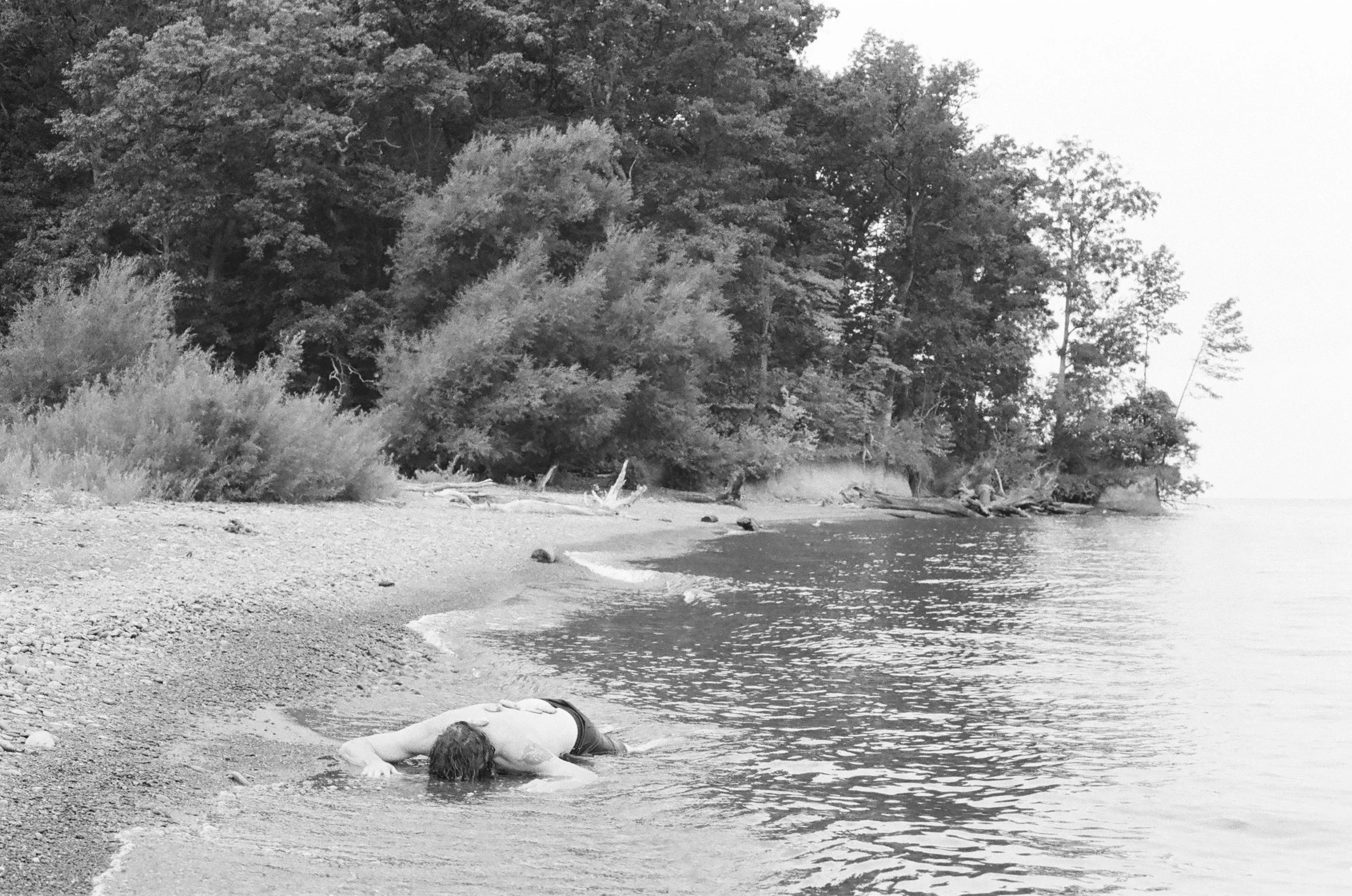
Photo by Sean Michael Gaulager & Vanessa Atienza
Summary Block